

RESERVOIRS, moors, golf course and a wind farm add character to this walk across Ovenden Moor. Ogden Water which lies just above Halifax is a particularly impressive place.
Drive to Oxenhope along the A6033 and park in the streets in the centre of the village. Oxenhope is in fact the unplanned amalgamation of a number of small villages built after the arrival of the Worth Valley railway.
Walk south on the B6141 as it starts to climb to the old settlement of Cowling but take the ‘Bronte Way’ lane as the road bends to the left. The lane soon arrives at the first of the four reservoirs on the walk, Leeming Reservoir. Do not drop to the water’s edge but keep to the Bronte Way with views over the reservoir as it starts to climb. From the reservoir the lane becomes a footpath and climbs steeply south east on to the moors.
Climb a stile and the path becoming more significant. It is also now in access land so you can leave the path and explore the surrounding areas. After a series of zig zags the path becomes Hambleton Lane. To the left is Thornton Moor Reservoir but it is difficult to see the water due to the angle of the land. The lane soon opens out on to the moors proper and there are some lovely, wide ranging views, the nature of the walk has changed and improved.
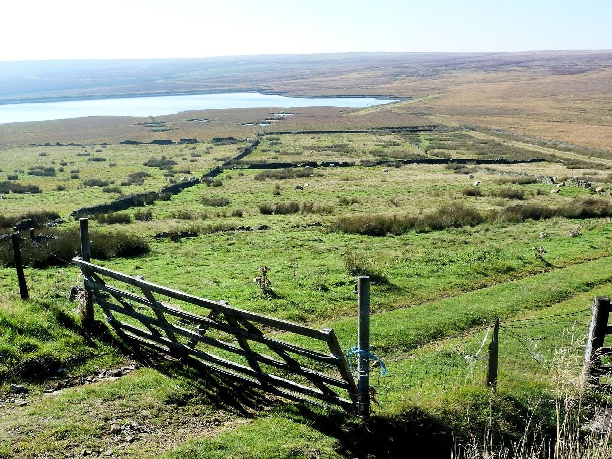
After half a mile the moorland path starts to slowly fall towards Ogden Reservoir. The reservoir is in a Local Nature Reserve. To enjoy this section of the walk most leave the main track as it starts to drop, enter the woods and take the signed nature trail close to the river which flows in to the reservoir. The path passes a disused quarry before entering some woodland and finally the banks of the reservoir.
Turn right and cross the dam wall and enjoy the views back over the reservoir and woods to the moors beyond. Having crossed the wall continue in a westerly direction (away from the reservoir) as the path climbs just outside the woods with Halifax Golf Club below and to your left. From the dam wall follow the bridlepath as it climbs for one mile to a quiet road heading north back on to the moors. Turn right.
Follow the road for the next one-and-a-half miles. There is interest on either side of this road, the attractive Warley Moor Reservoir used by Halifax Sailing Club on the left whilst above and to the right is a large wind farm. Walking along the road is a good chance to contemplate your own views, benefits and disadvantages of wind farms. After one-and-a-half miles the road turns sharply right and then 400 metres later sharply left. Leave the road here and follow Isle Lane which drops sharply towards Leeming Reservoir and the start of the walk.
* Fact Box:
Distance: Roughly 9.5 miles
Height to Climb: 480m (1,575 feet).
Start: SE 034349. Park in the centre of Oxenhope, to the south of the A6033.
Difficulty: Moderate/Difficult. This is a long walk through rolling countryside with a few steep climbs and options to leave the path and explore.
Refreshments: There are pubs in Oxenhope but there is a greater choice of pubs and cafes in nearby Haworth.
Be Prepared: The route description and sketch map only provide a guide to the walk. You must take out and be able to read a map (O/S Explorer OL21) and in cloudy/misty conditions a compass. You must also wear the correct clothing and footwear for the outdoors. Whilst every effort is made to provide accurate information, walkers head out at their own risk.
Please observe the Countryside Code and park sensibly.
* Jonathan Smith runs Where2walk, a walking company in the Yorkshire Dales. He has written his own book, the Dales 30, which details the highest mountains in the Dales. He also runs one-day navigation courses for beginners and intermediates.
Join his Learn a Skill, Climb a Hill weekends in the Dales. Visit where2walk.co.uk


Comments: Our rules
We want our comments to be a lively and valuable part of our community - a place where readers can debate and engage with the most important local issues. The ability to comment on our stories is a privilege, not a right, however, and that privilege may be withdrawn if it is abused or misused.
Please report any comments that break our rules.
Read the rules here