

ON the other side of the dale from its more popular neighbours, Buckden Pike and Great Whernside lies shy Birks Fell.
The mountain occupies a long broad grassy ridge between Wharfedale and Littondale and on a nice sunny day is the perfect retreat.
The walk starts with a riverside amble. Cross the road bridge at Buckden and turn left following the Dales Way for two miles along a well-used path next to or near the river. Look out for the herons on the mud flats and other wildlife before reaching the bridge opposite the village of Starbotton. Do not cross the river to the village (unless you want to pop up the lane and visit this lovely village) and take the track heading south heading towards the steep slopes of the mountain.
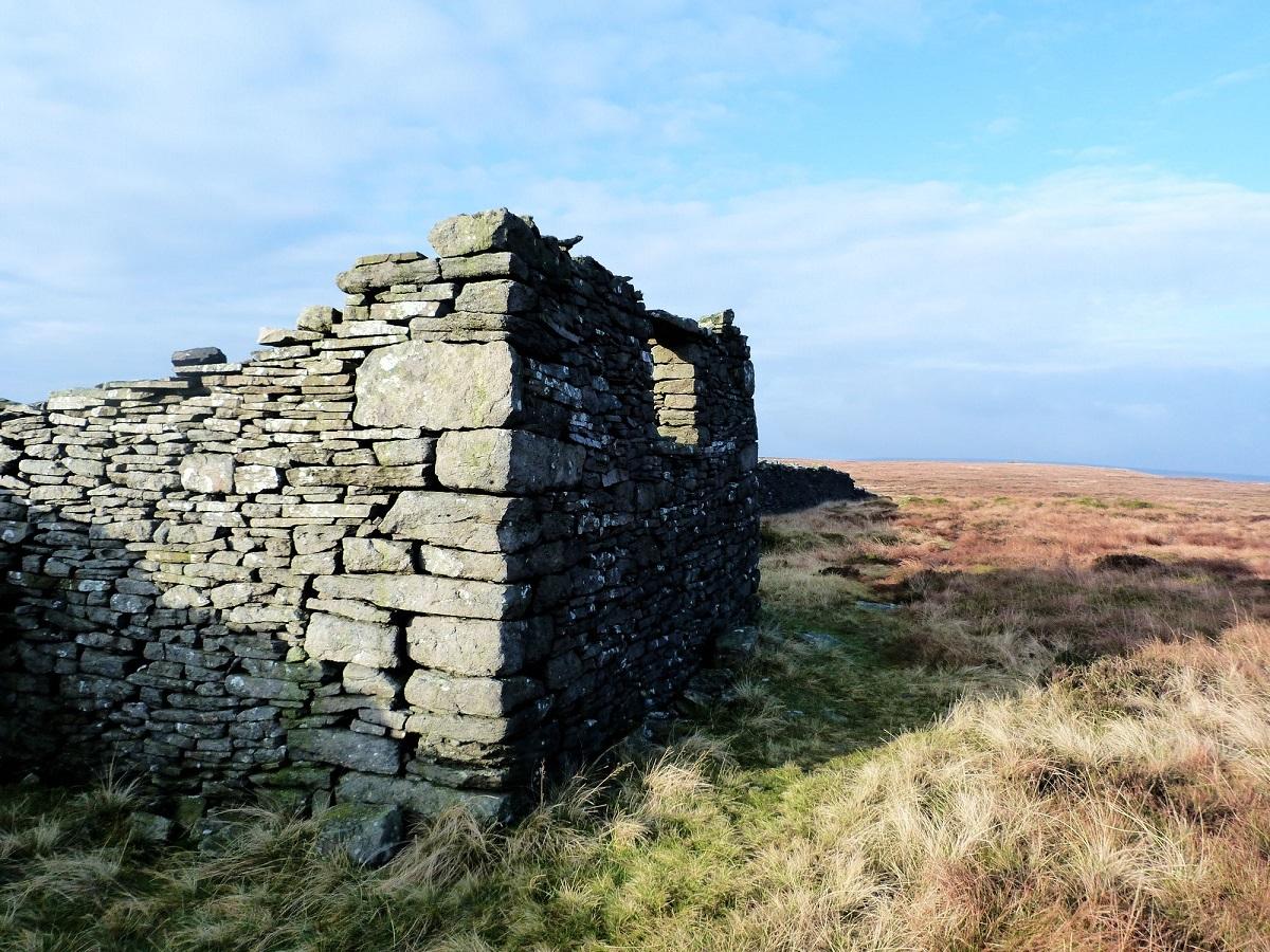
After crossing a field the path starts to climb towards some woods. This is a bridlepath and therefore has gates not stiles which does make the going easier.
The steepest section through the woods is soon completed, the route turns right soon after leaving the woods and continues to climb (a little less steeply) on open hillside to a wall. Follow this wall to the high point of the shoulder and turn right on a less obvious path along the shoulder. in a north westerly direction.
The bridlepath continues down the far side of Birks in to Littondale. Follow the footpath next to the wall for a mile. Where a second wall come in from the left cross ‘your wall’ at a stile and then continue to follow the wall north west.
After another half a mile brings you to a trig point, a significant sight on this wide ridge of featureless ground. The ground may be rough but the views are superb, a great panorama of mountains and dales including good views of the Three Peaks.
However this is not the highest point of Birks (trig points do not necessarily mean the highest point), the highest point is a further one mile along the ridge (two mile return), a small cairn on the west side of the wall.
Those wishing to complete the ‘Dales 30’ mountains will need to do this. The Dales 30 are the mountains in the Yorkshire and Cumbrian Dales of over 2,000 feet high, a great challenge that takes you to some of the least visited and most interesting parts of the Dales.
On returning to the trig point take the initially paved path (actually 100 metres short of the trig), marked as a bridlepath, heading north back to Wharfedale. This intermittent path gradually descends the vast slopes of Birks with excellent views of Upper Wharfedale.
At a stream and wall on the lower slopes turn left and join a lane leading past a farm and on to the road near the village of Buckden. At the road turn right and follow the road over the River Wharfe and in to Buckden village.
* Fact File:
Distance: Roughly 9.5 miles
Height to Climb: 430m (1,410 feet)
Start: SD 942772. There is a large National Park car park in Buckden.
Difficulty: Hard. More for the climb than the walking on the summit ridge which is generally very easy (unless after heavy rains).
Refreshments: The Buck Inn is a traditional, friendly pub in Buckden. There is also a café.
Be Prepared: The route description and sketch map only provide a guide to the walk. You must take out and be able to read a map (O/S Explorer OL30) and in cloudy/misty conditions a compass. You must also wear the correct clothing and footwear for the outdoors. Whilst every effort is made to provide accurate information, walkers head out at their own risk.
* Jonathan Smith runs Where2walk, a walking company in the Yorkshire Dales. He has written his own book, the Dales 30, which details the highest mountains in the Dales. He also runs one-day navigation courses for beginners and intermediates.
Join his Learn a Skill, Climb a Hill weekends in the Dales. Visit where2walk.co.uk


Comments: Our rules
We want our comments to be a lively and valuable part of our community - a place where readers can debate and engage with the most important local issues. The ability to comment on our stories is a privilege, not a right, however, and that privilege may be withdrawn if it is abused or misused.
Please report any comments that break our rules.
Read the rules here