
IT is surprising how much can be packed in to such a short walk.
On this walk in Wensleydale there are two beautiful villages, a hamlet, some excellent views from a limestone scar and a section along the old railway line. All on a walk under five miles.
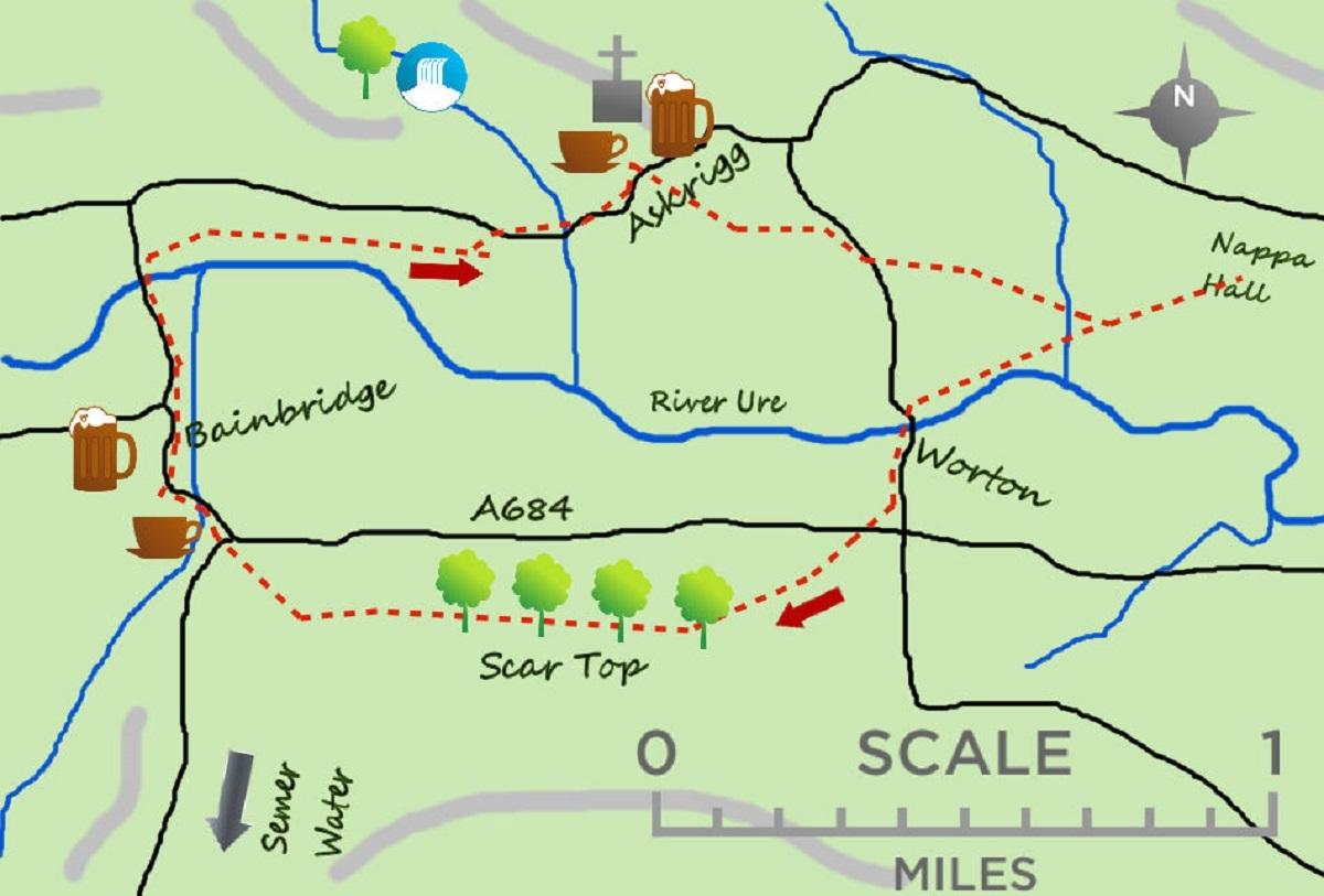
The walk starts in the village of Bainbridge although it could just as easily start in Askrigg. I like Bainbridge though, it is a little quieter and less walks normally start from here. It is probably best known as having the remains of a Roman fort on a small hill at its eastern end.
Bainbridge was part of the main Roman route supplying Hadrian’s Wall, the Cam Road leading in to the fort. It also has a lovely centre, typical Dales houses and a good central green, no wonder the National Park chose it for their main centre!
From the centre walk north to the river and cross the road bridge. Immediately after the bridge turn right and cross the field before arriving at the raised ground of the old railway. Walk alongside the railway for over half a mile to some houses and turn left through the houses o to the main road leading in to Askrigg.
The Old Wensleydale railway used to run from Northallerton all the way to Garsdale linking to the Settle Carlisle line. It was closed in 1964 with the line nor only running to Redmire further east. How good would it be to open it again.
On meeting the road cross the small beck and take the footpath on your left which heads directly for the impressive church of St Oswalds in the centre of Askrigg.
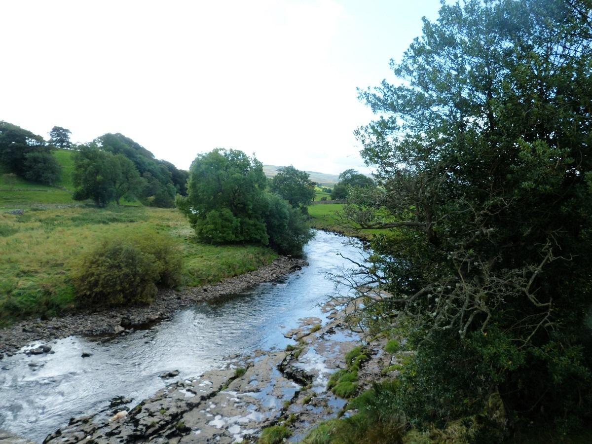
Feel free to explore Askrigg at this stage. However, the walk continues by taking the path opposite the church (across the road) which soon enters a field with sheep. Follow the side of a wall over two stiles before bearing right and heading towards the river. The path continues for half a mile before arriving at a road bridge leading in to the small village/hamlet of Worton. Here there are also some beautiful, Yorkshire stone buildings although Worton may be most famous for having surely the longest serving landlord in the country, over 50 years pulling pints at the Victoria Inn.
Cross the main road at the south west corner of the village and a few metres to your right a footpath heads up hill across fields. It is indistinct on the ground but head diagonally right/south west, towards some woodland. Here the views open up impressively over much of Wensleydale. They are some of the best.
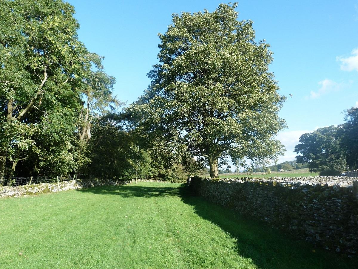
The woodland is only a few metres deep before emerging on flatter land. Turn right and follow the line of trees for three quarters of a mile. This is Scar Top, enjoy the views where the trees allow. Where the boundary bends sharp left head diagonally right towards Bainbridge. You get some good views of the fort across the main road.
* Under present lockdown circumstances please do not travel to take this walk. Either walk it if you are local or keep the details handy until it is acceptable to do so.
* Jonathan Smith runs Where2walk, a walking company in the Yorkshire Dales. He has written his own book, the Dales 30, which details the highest mountains in the Dales. He also runs one-day navigation courses for beginners and intermediates. Join his Learn a Skill, Climb a Hill weekends in the Dales.
Visit where2walk.co.uk
Fact File:
Distance: Roughly 4.5 miles.
Height to Climb: 100m (330 feet)
Start: SD 904931. Park near the very good Cornmill cafe.
Difficulty: Easy/Medium. A short climb to Scar Edge is the only challenge, most of the rest of the walk is across fields.
Refreshments: Cornmill Cafe is good, as is the Rose and Crown in Bainbridge.
Be Prepared: The route description and sketch map only provide a guide to the walk. You must take out and be able to read a map (O/S Explorer OL30) and in cloudy/misty conditions a compass.


Comments: Our rules
We want our comments to be a lively and valuable part of our community - a place where readers can debate and engage with the most important local issues. The ability to comment on our stories is a privilege, not a right, however, and that privilege may be withdrawn if it is abused or misused.
Please report any comments that break our rules.
Read the rules here