

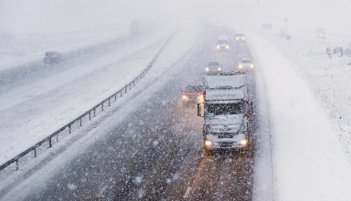
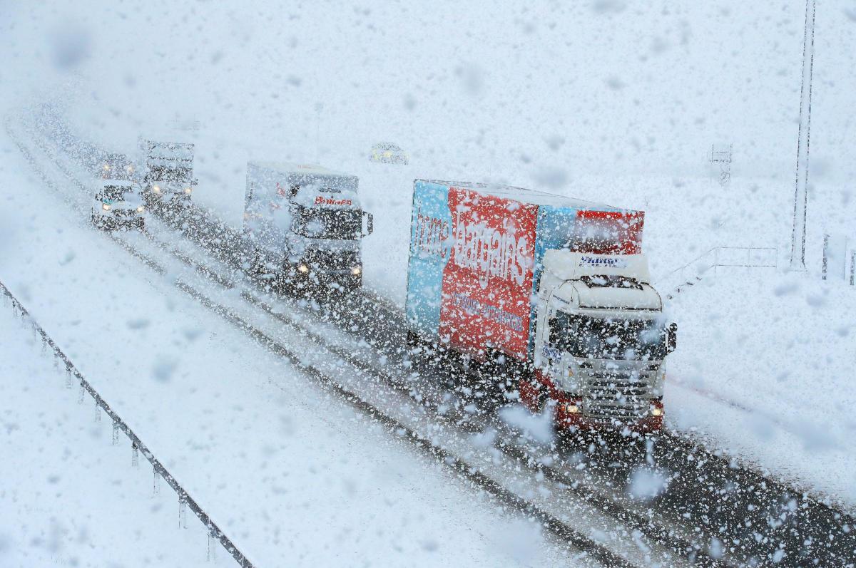

DRIVERS have been warned to take extra care on their commute home tonight after a day of sleet and snow.
Breakdown organisations urged motorists to take extra care in case of black ice - especially on roads left wet by sleet this afternoon.
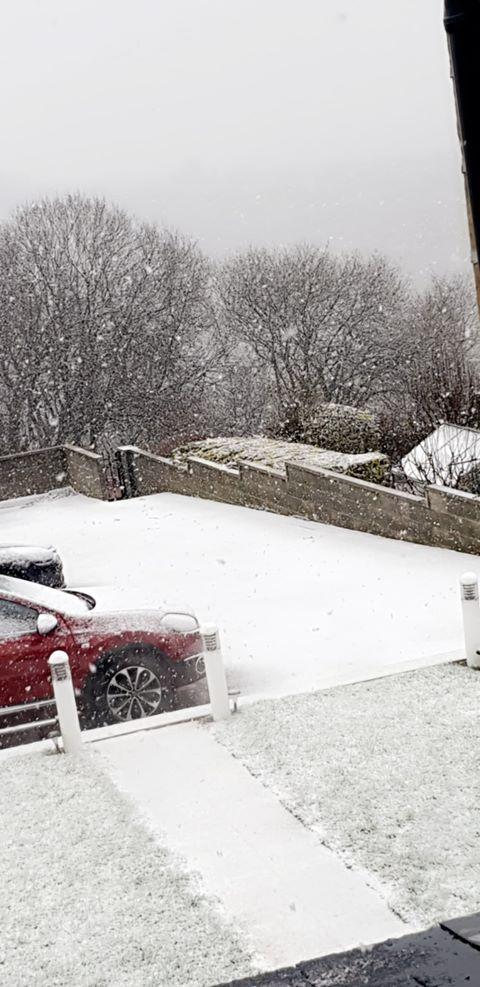
Snow fell in Queensbury and Wibseybut the city centre largely escaped the worst.
LATEST: Bradford Council braced for snow impact
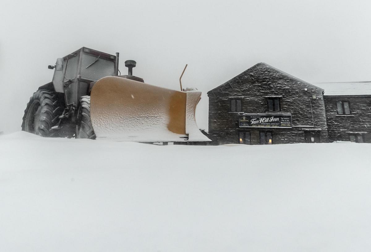
Up to 10cm of snow could fall on higher ground as temperatures drop across large parts of the UK this week.
Weather warnings for snow and ice have been issued by the Met Office and flurries were reported in North Yorkshire this morning.
GRITTING MAP: Is your commute on a priority route?
Around 0.4in to 1.2in (1cm-3cm) could accumulate on lower-lying levels, with the possibility of 2in to 4in (5cm-10cm) falling on higher ground, Marco Petagna from the Met Office said.
Four separate yellow weather warnings have been issued which cover most of the UK.
Mr Petagna said London could see snow showers - but added they were unlikely to settle.

SNOW: Nicola Chippendale took this picture in Queensbury
Temperatures fell as low as minus 7C (19F) in the Highlands overnight, while the capital was at just about freezing as large parts of the country woke up to frost.
During Tuesday morning, a band of rain will push from west to east which could fall as rain, sleet or snow, particularly at peaks in Wales and northern England and Scotland .
As the day progresses the wintry weather will move across West Yorkshire and into the south east.
Snow showers could return on Wednesday and there is a risk of further disruptive snow and ice to parts of the country towards the end of the week.
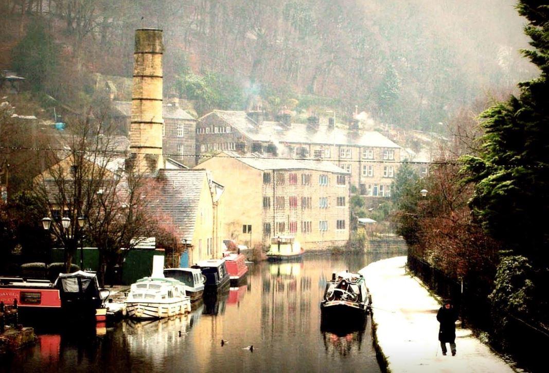
Snow pictures 2019
Send us your photos of snow falling in the Bradford district!


Comments: Our rules
We want our comments to be a lively and valuable part of our community - a place where readers can debate and engage with the most important local issues. The ability to comment on our stories is a privilege, not a right, however, and that privilege may be withdrawn if it is abused or misused.
Please report any comments that break our rules.
Read the rules hereLast Updated:
Report this comment Cancel