
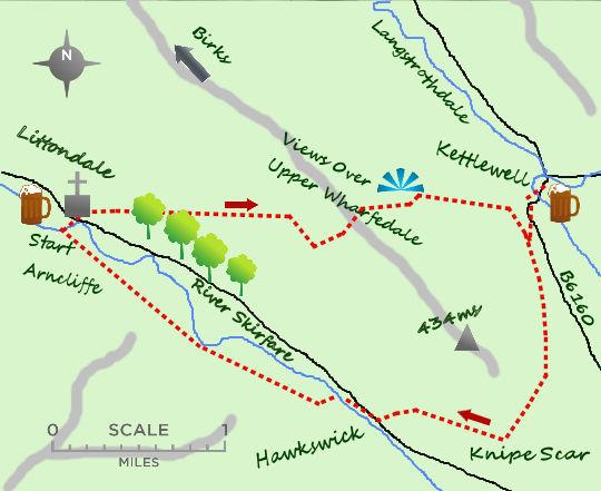
UPPER Wharfedale has some of the finest and most accessible walking in Yorkshire. The paths and terrain characterise the area perfectly on this walk which includes 2 interesting villages, Kettlewell and Arncliffe.
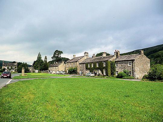
Start the walk from the village green of Arncliffe in the lovely valley of Littondale. The village is set around a village green, the Falcon pub being the original setting for the Woolpack Inn when the popular Ennerdale Farm was being filmed in the 1970s. Now the village is more peaceful. Before setting off on the walk it is worth visiting the Church of St Oswald, built in the 17th century. It is a fine church and was believed to be the inspiration behind Charles Kingsley’s book, the Water Babies. From the church cross the River Skirfare and take the footpath to your right. The path climbs steadily into a wooded glade.
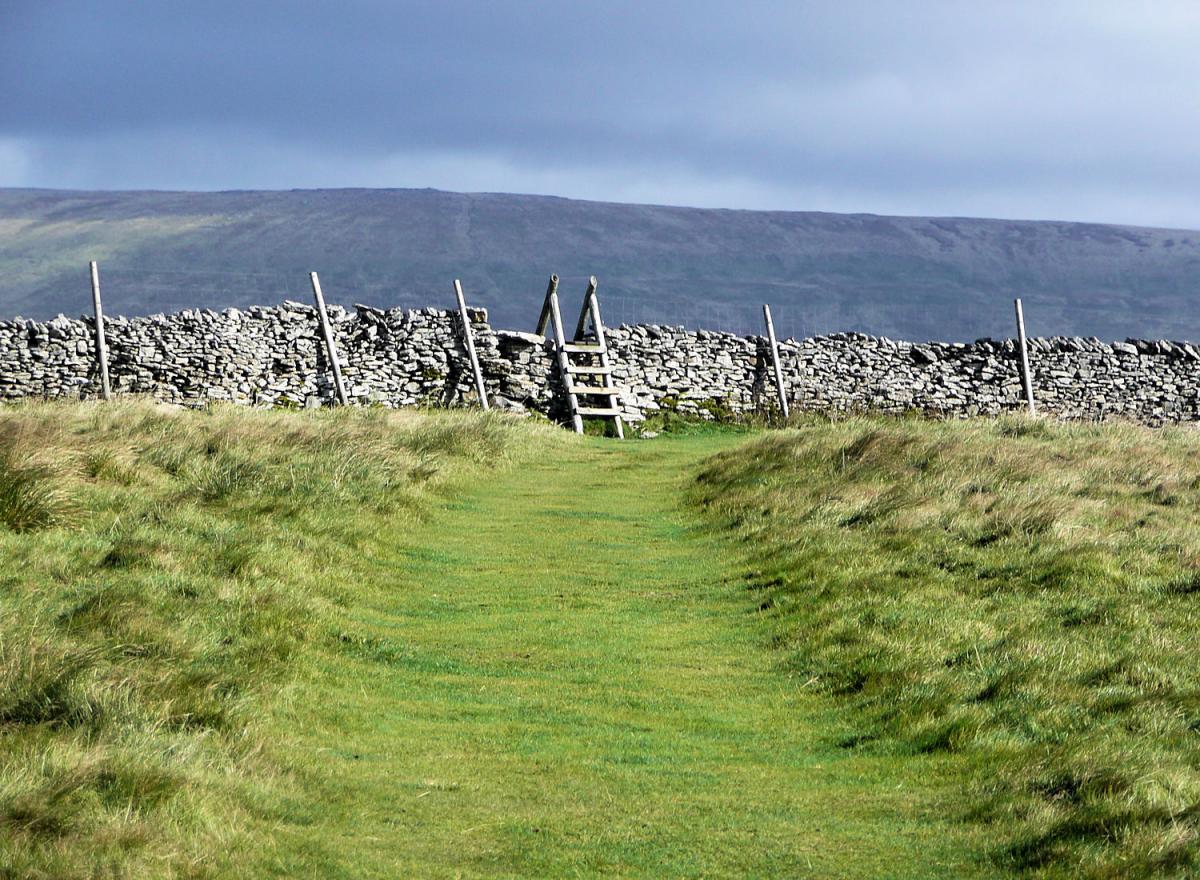
The woodland is a pleasant reminder of times past when the entire dale was covered in trees. A combination of need for fuel and the introduction of sheep farming changed the landscape to its famous look of today. The path soon leaves the woodland and continues climbing west at an angle across the hillside. It passes some mini scars of limestone, used in the past for the construction of the nearby dry stone walls. After passing through 2 stiles the climb starts to flatten out as the broad shoulder of the hillside is reached. This is the shoulder of Birks, one of the ‘Dales 30’ mountains of the area. However the summit of the mountain is 3 miles to the north west and best left for another day.
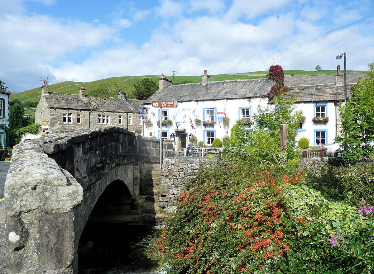
From the high point there are some spectacular views of the surrounding dales and mountains, the mountain of Great Whernside dominating the view ahead. The path carries on west but drops increasingly steeply.It is only 1 mile from the high point to its foot and the views up and down Wharfedale are excellent. The path passes areas of limestone and disused mine shafts as it nears Kettlewell. The temptations for a cuppa or something stronger may entice you in to this pretty village but the walk is not half done. If you decide to miss Kettlewell turn right when meeting the road (the village is just over the bridge) and walk 200 metres along the road to a footpat sign to the right. Join the footpath.
The footpath climbs through some attractive woodland (skirting the hillside but heading south) before crossing back on to the open hillside. The walking here is glorious, with great views down Wharfedale and the path being perfect short turf. Soon a wall marks the high point of the shoulder, the path turns towards the east with the views now changing from Wharfedale to Littondale. The path drops in to the hamlet of Hawkswick on the valley floor, a pretty place but lacking any facilities. At Hawkswick cross the river and head along the southern bank to a footpath. This keeps next to the river as it crosses the fields for 1 mile before arriving back in to Arncliffe.
n Jonathan Smith runs Where2walk, an outdoor business in the Yorkshire Dales. He has written his own book, the Dales 30, which describes the highest mountains in the Dales. He also runs one-day navigation courses for beginners and intermediates, and learn a skill, climb a hill weekends. To find out more details on any of the above and details of many more walks in the area visit where2walk. co.uk.
Fact Box:
Distance: Roughly 6.5 miles
Height to Climb: 470m (1,550 feet).
Start: SD 931718. There is parking around the village green but please be considerate.
Difficulty: Moderate. There are some steep climbs but on good paths.
Refreshments: The Falcon Inn in Atrncliffe has much character and history.
Be Prepared:
The route description and sketch map only provide a guide to the walk. You must take out and be able to read a map (O/S Explorer OL30) and in cloudy/misty conditions a compass. You must also wear the correct clothing and footwear for the outdoors. Whilst every effort is made to provide accurate information, walkers head out at their own risk.
Please observe the Countryside Code and park sensibly.


Comments: Our rules
We want our comments to be a lively and valuable part of our community - a place where readers can debate and engage with the most important local issues. The ability to comment on our stories is a privilege, not a right, however, and that privilege may be withdrawn if it is abused or misused.
Please report any comments that break our rules.
Read the rules here