

Greetland isn’t the easiest place to find but once you get there it’s well worth a visit. We made the mistake of not turning off the A629 Halifax-Huddersfield road at Elland and as a result nearly found ourselves on the M62 while searching in vain for a Greetland sign.
On the return journey we spotted one, just outside Elland, and followed it but then lost the route again. It was as we retraced that part of our journey that we re-found it and eventually made our way to the starting point of this walk.
Why is it that some places are only signposted from one direction? It makes life rather difficult. Fortunately once we were parked up, booted and off there were no problems with the route of this walk, which was suggested by Rebecca Chippindale and Rebecca Terry’s excellent book All-Terrain Pushchair Walks in West Yorkshire.
Having never walked in this area before, I needed something that offered an easy taster to its delights. Their three-mile route, along bridleways, pavements and quiet roads, fitted the bill nicely.
It promises splendid views over Calderdale, but unfortunately we could only guess at them because the cloud and mist were down as we parked near the end of Moor Bottom Lane off the Rochdale Road, with Saturday-morning footballers shouting to each other in the playing fields nearby and dog walkers exercising their pets.
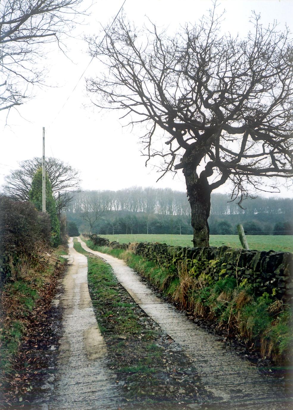
We headed north up this high-ridge potholed lane, between fields and past houses and farms, at one of which ducks, geese and chickens ranged freely and cockerels crowed loudly. Eventually we arrived at a crossroads, with a green lane to the right, a narrower, descending path ahead and a wide bridleway to the left.
That was the direction in which we had to head, striding along between smallholdings and fields of horses to pass the cluster of buildings marked on the map as Bilberry Hall and arrive shortly at a narrow road (Turnbury Lane).
A dog-leg across this found us following another, rather muddy bridleway through more fields and past another football pitch to descend to the Rochdale Road again alongside The Sportsman’s Inn. Immediately across the road a path headed down into woodland.
But that wasn’t our route. Instead we did another dogleg, passing a very attractive row of cottages (there are some highly desirable houses in this part of the world) before turning left into a paved, quiet road to skirt around the wood and descend until we were looking down on the back of Grawstone Hall – which I suppose is what they call a “yeoman’s house”.
It’s a splendid, solid-looking place with views across the valley. There were other covetable houses beyond it, and interesting paths and lanes striking off in various directions. Those paths were to be followed on other occasions, though, when the weather was a bit more sympathetic. This walk, as I say, was a “taster” for us, and even in the mist we liked what we were seeing.
We followed a double cement track past a high hedge of holly and eventually descended to meet the busy Saddleworth Road. From here there was a spot of pavement walking, enjoying the clouded views across the valley of woodland and rising hills (the mist was clearing by now), until just opposite the Branch Road Inn we turned to head up a track past houses toward the Rochdale Road again.
A tricky bit of the walk, this. For about 20 yards the track was awash from side to side with lacehole-deep water that had flowed down from the fields. We slowly picked our way sideways through the undergrowth on the narrow trackside verge to arrive at the relative dryness beyond and soon make our way up another track past houses built on the steep hillside to arrive at the road.
Minutes later we were back at the car. The footballers and the dog-walkers had gone by now. The playing fields were empty and silent. And at last, but too late, the mist was lifting.
Step by Step
1 From end of Moor Bottom Lane, head north past houses and farms to crossroads with path ahead. Go left here on broad track to pass cluster of houses marked on map as Bilberry Hall and arrive at road (Turnbury Lane).
2 Cross road, turn right, and immediately past houses turn left into bridleway. Walk along this to arrive at Rochdale Road next to The Sportsman Inn, below.
3 Cross road, again turn right on pavement, and after passing row of houses across road go left down Dog Lane (signed to Wall Nook and Barsey Green). Stick with this lane, passing above Grawstone Hall on left and continuing to arrived at fork. Go left here (ignore rough track ahead) on what becomes a double cement track passing holly hedge. Go left again at next junction to arrive soon at road.
4 Turn left here and walk along pavement. Just opposite Branch Road Inn on right, go left up track with footpath sign (Syke House Lane). Pass houses and continue along path between fields to arrive at Brian Royd Lane. Almost immediately turn left off this up Scar Bottom Lane to climb past houses and arrive at Rochdale Road. Go right and walk along pavement, crossing over into Moor Bottom Lane to return to start.
Fact File
Start: Moor Bottom Lane off Rochdale Road (B6113), west of Greetland.
Time for three-mile walk: 1½ hours.
Going: easy.
Map: OS Outdoors Leisure 21, South Pennines.
Parking: near bottom of Moor Bottom Lane.
Refreshments: two pubs along route.
Toilets: none except at pubs.
Getting there: from Halifax follow A629 Huddersfield Road, leaving it at Elland and heading to West Vale on B6114, forking right there on to Rochdale Road (B6113). Drive through Greetland and climb, passing Sports Centre on right. Not far beyond, go right into Moor Bottom Lane.
By bus: the 556 goes from Halifax bus station at 29 minutes past the hour through Greetland on Rochdale Road. For Sunday times ring Metroline on (0113) 2457676.


Comments: Our rules
We want our comments to be a lively and valuable part of our community - a place where readers can debate and engage with the most important local issues. The ability to comment on our stories is a privilege, not a right, however, and that privilege may be withdrawn if it is abused or misused.
Please report any comments that break our rules.
Read the rules here