
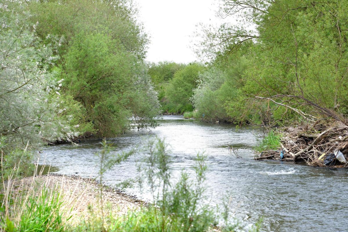
WATER levels in our rivers and streams can rise rapidly.
With heavy rain, it does not take long for a slow-flowing beck to become a raging torrent, spilling into rivers and creeping up their banks.
With heavier, prolonged downpours becoming a more regular feature of our weather patterns, such incidents are not uncommon and it is vital to have as much warning as possible.
Along rivers and streams throughout the country, high-tech telemetry stations overseen by the Environment Agency (EA) help to keep tabs on what is happening almost continuously.
Submersible instruments known as pressure transdeucers are combined with electronic data recorders to collect water level data which is fed back to the EA’s offices in Leeds.
Across Yorkshire there are 500 telemetry sites on rivers and streams, plus 30 ground water monitoring sites. Along the River Aire and its tributaries Cottingley Bridge, Cross Hills, Saltaire, Shipley and Apperley Bridge are among the locations from where data is collected.
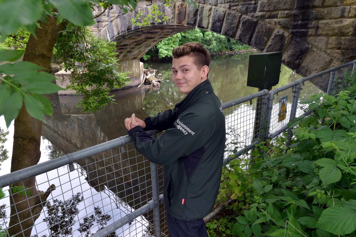
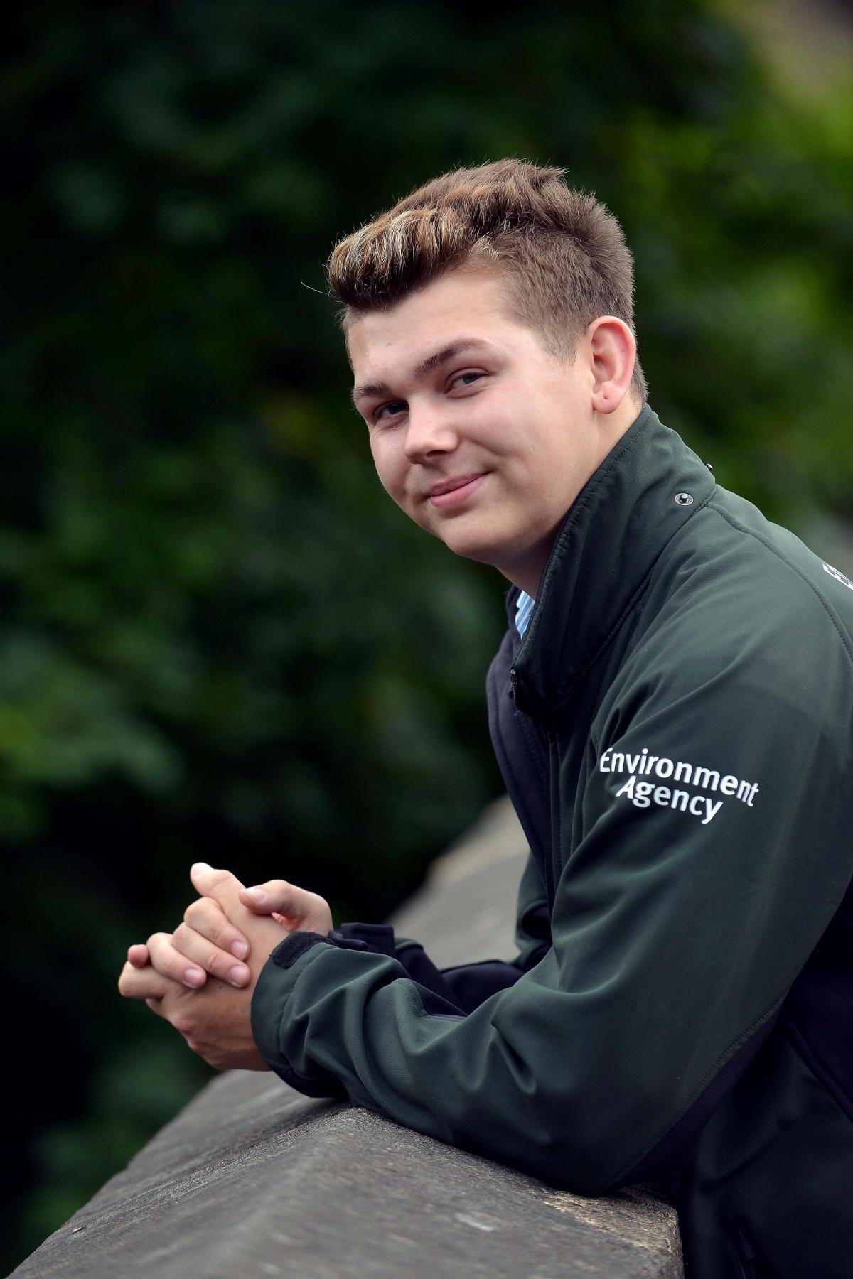
“By gauging the weight of the water above them, the gauge can say how high the level is at that point,” says Andrew Denville, flood resilience officer with the EA. “In some cases we monitor using heat fluctuation, but these are less common methods.”
The data is not only channelled into EA databases, but is sent to its website and published online for the public to view. “People can then check how high their local river is and consider if they need to start taking action to prepare,” says Andrew.
Data is recorded every 15 minutes, stored and sent back to the EA’s offices each day. On some occasions, especially during flooding, information is collected more frequently and updated on the website is updated more frequently.
It ensures that people living in areas at risk of flooding are kept informed and have time to decide what action to take should water levels change.
“We have pre-set levels whereby we know that, if it gets any higher, properties are going to start flooding, so before those levels are reached duty officers are promoted to send out warnings,” explains Andrew. “We have many procedures in place to help us make those decisions.”
There is a long history of flooding on the River Aire and its tributaries. In Autumn 2000 widespread flooding affected a number of communities from Bingley and Stockbridge in the upper reaches, to Gowdall in the lower catchment, while the centre of Leeds was severely threatened. More than 15 tributaries join the River Aire in this reach and many of these pose a significant risk of flooding.
Forecasting officers use their experience to help with predictions, and, if it necessary, local flood wardens will be contacted. These volunteers from within the community can help to pass on information.
“We have some very active groups dotted around Yorkshire who can ring us and relay on-the-ground information.”
“Information from monitoring sites not only helps us to inform wardens, the community and our professional partners, it allows us to decide at what point to operate certain defences such as flood barriers and prioritise how we manage operational staff. It may alert us to a level where debris may collect on a trash screen - a metal grille installed at culverts in rivers and streams to prevent blockages.”
The website information is also useful for those using the river for recreation, such as angling or boating, who can check levels before they set off.
People can also sign up online for Floodline Warnings Direct, a free service providing flood warnings by phone, text or email. The EA website also gives information on getting help during and after a flood.
“If you are at risk, ensure you have a flood plan,” says Andrew.
Further upstream, information is fed from ten monitoring stations in the Skipton area, including Eller Beck, Glusburn Bridge and Kildwick. “Forecasting stations further upstream can give us a better idea of how rivers further downstream will respond, “adds Andrew.
“We have a number of areas along the Aire which act as flood storage reservoirs which start to fill when the river is high.”
The telemetry system is tested remotely. “If we come across anything unusual we would be out there to have a look - we have a very dedicated team,” says Andrew.
Not all rivers and streams are monitored. “It is impractical and expensive and would not give the best overview,” says Andrew. “It is better to monitor strategically placed telemetry stations which we choose based on risk assessment - we look at previous incidents of flooding. ”
* For more information visit environment-agency.gov.uk; gov.uk/check-if-youre-at-risk-of-flooding or call the Floodline on 0845 988 1188.


Comments: Our rules
We want our comments to be a lively and valuable part of our community - a place where readers can debate and engage with the most important local issues. The ability to comment on our stories is a privilege, not a right, however, and that privilege may be withdrawn if it is abused or misused.
Please report any comments that break our rules.
Read the rules hereComments are closed on this article